HISTORY
Nautical Chart - Sea Depths, Wave Heights, Tide Scale
Maritime Locator - Shipyards, Bunkerers, Agents
Interactive Map - Maritime Geo Regions
Voyage Planner - Sea Routes Visualizer
Weather Map - Maritime Forecast Map
Wave Height Map - Sea Depths - Tide Scale
Nautical Chart, Wave Height Map, Depths Layer, Tidal Scale, Lighthouse Position & Ranges
This map is provided under Creative Commons Attribution-ShareAlike 4.0 International Public License
(Current Coordinates of the Map above - the Strait of Gibraltar)
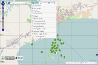
View Options
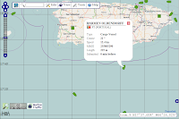
Ship Data
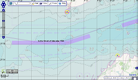
Sea Depths
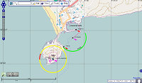
Lighthouse Range and Position
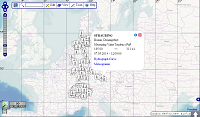
Tidal Scale
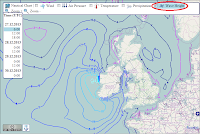
Wave Height (3 days forecast)
×


